

Pillar 01
AI Engineering
Build intelligent applications around your data and workflows.
- Generative AI
- RAG
- Machine learning
- Computer vision
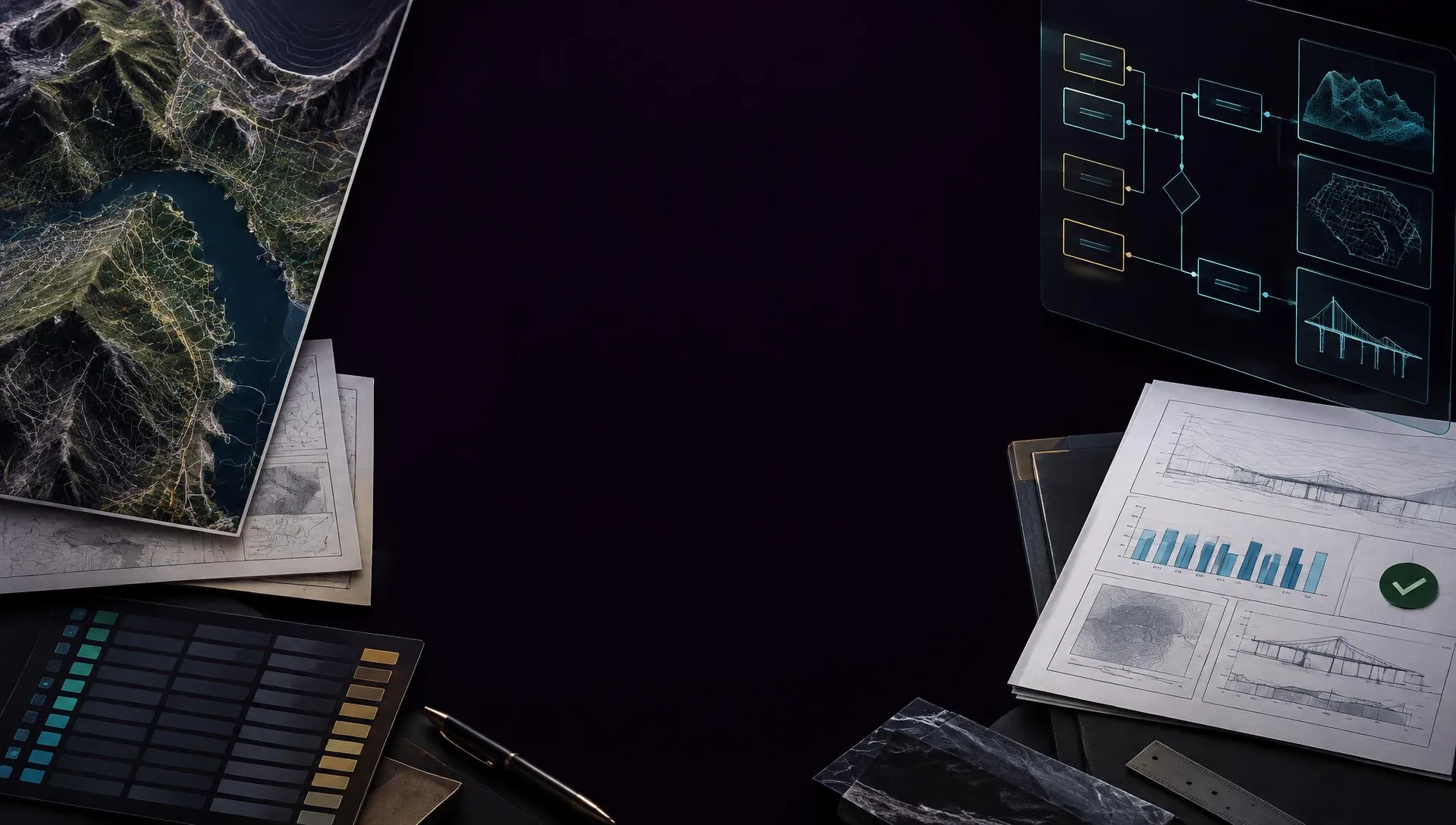
AI engineering · Agentic automation · GeoAI
Stop spending days on manual reports, inspections and spatial checks. Get AI systems with validation and human approval built in.
10+ years GIS & AI · 35-district flood intelligence system · 15 specialist agents · 8 industries
One platform, field to decision
Spatial data flows in from the field, specialist agents process it, and every result passes validation and human approval before it reaches you.
AI and GeoAI globe
What we build
Every engagement ships data pipelines, evaluation and governance alongside the agents themselves.
Pillar 01
Build intelligent applications around your data and workflows.

Pillar 02
Turn complex multi-step processes into controlled AI workflows.
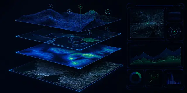
Pillar 03
Turn spatial, satellite and operational data into decisions.
Meet the engineer behind HIS
Data Scientist · AI/ML Engineer · GeoAI Specialist
From spatial data and infrastructure systems to AI-powered decision intelligence.
Muhammad Safdar is a Data Scientist, AI/ML Engineer and GeoAI specialist with 10+ years of professional experience across GIS, remote sensing, spatial databases, infrastructure, utilities, agriculture, disaster intelligence and data-driven decision support.
Career experience, not HIS client delivery. Full disclosures

Have a complex data, AI or spatial problem?
Bring us a workflow, data problem or spatial challenge. We will help identify where AI and automation can create a practical starting point.
HIS AI Workbench
Human-controlled execution
Workflow demonstration
AI agents
Research
Research Agent
Collects evidence from approved sources, compares findings side by side and produces citation-backed research you can audit.
Documents
Document Analysis Agent
Reads uploaded contracts, invoices and forms, extracts the fields you define and validates them against your rules before release.
Engineering
Engineering Document Agent
Extracts and validates information from drawings, specifications and technical documents, flagging conflicts between them.
Data
Data Quality Agent
Profiles datasets, detects missing, duplicated or inconsistent values and produces a remediation report with prioritised fixes.
GeoAI specialisation
A decade of geospatial engineering behind AI for infrastructure, environment, agriculture and disaster risk.
How we deliver
01
Discover
Understand the workflow and the business objective.
02
Assess
Evaluate data, systems, feasibility and risk before any build decision.
03
Build
Develop the AI, data or GeoAI solution around real constraints.
04
Validate
Test performance, reliability and the human workflows around the system.
05
Deploy
Move validated systems into the appropriate environment.
06
Improve
Monitor, evaluate and iterate on what works.
Secure by design
Least-privilege access and controlled data boundaries.
Human governed
Sensitive actions require explicit authorisation.
Auditable
Actions, tools, approvals and outputs are traceable.
Transparent
Demonstration results are never presented as production outcomes.
Public engineering work
GeoAI · Disaster Intelligence
35districts in the demonstration
GeoAI · Spatial Resilience
5unified spatial workflows
Engineering AI · OCR
2specialist OCR workspaces
Independent demonstrations; metrics describe build scope, not client results. Full disclosures
Free AI Assessment
Start with a short preliminary assessment, or tell us directly what is slowing your operation down.